by LazyJ » Wed Nov 28, 2012 06:06
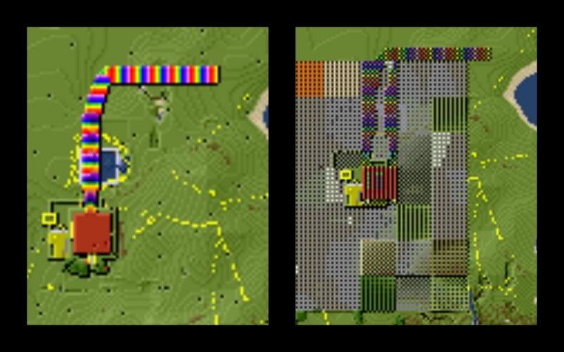
Ok, some more kitchen-testing with the latest version from Github (as of 2012_11_27 morning), Minetest v 0.4.3 and Ubuntu 12.04, 4gig ram
I played around with the "--geometry" option and here are some of the results:
--geometry -30000:-30000+100+100
Result: "Segmentation fault (core dumped)". Yes, there are some buildings out at -30,000x,-30,000y.
--geometry -20000:-20000+100+100
Result: About 15 to 20 minutes to produce a 33 byte (yup, 3-3-b-y-t-e) file that wouldn't load into Eye-of-Gnome (eog) nor GIMP.
--geometry -2000:-2000+4000+4000
Result: A 6.7mb file covering a 4000 x 4000 area starting in the lower left corner at -2000x, -2000y
--geometry -10000:-10000+20000+20000
Results: A 20.2mb file covering a 20,000 x 20,000 area staring in the lower left corner at -10,000x, -10,000y
I've noticed that the minetestmapper's "y" is different than Minetest's coordinates "y". In Minetest, the "y" is the vertical (heaven to hell, up and down) where in the minetestmapper, the "y" is the north and south, forward and reverse (like they taught me in geometry class).
The file size seems quite large for a flat, 2D map. I see that each node is already reduced to 1 pixel each. If rendering the full 60,000x60,000 map becomes possible, what other options could be exercised to reduce the file size? Greyscale instead of RGB? Lower resolution? Output format *.jpg instead of *.png? What about splitting the image into sections that could later be knitted together in a photo editor?
I hope this information is usefull in the further develpment of this nifty program.