Such places could be produced deliberately and show diffrent colored rocks.
Re: strata. One way could be to make a flat map, with layers of stone, clay, coal, etc, then the map could be lifted and sunk to the surface levels desired, which would expose the strata, and create runs and veins of minerals in a novel way. I'm not as interested in new mineral types, yet, this is just a mapgen idea.
However, the needs of terrain for gameplay may differ considerably from RL terrain. Maybe the easiest way would be to take a flat mapgen, add the occasional river and proclaim that it's terrain from a flat region.
This misses the point of this thread entirely. The idea is to get actual real world terrain into the game, not to tweak existing mapgen settings. (Time spent in a virtual world could actually have the incidental benefit of familiarizing yourself with real world topography.)
Frankly the notion of using a heightmap to set the game map surface height should be getting everyone's panties wet, whether for importing real world terrain or having an instant "level editor" for minetest with nothing more than ms paint: one texture for elevation, one for surface cover (simple color code for biome, water source, road and village coverage), and even one for mineral probability below ground.
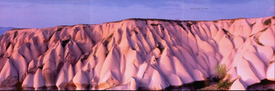
Larger geological structures like mountains or mountain ranges are invisible due to not enough land beeing loaded in the client.
These issues of scale are easy to address. The real world DEM pixels can be scaled to represent only a single in-game square, a 16x16 block, or whatever size you want to handle with voxelmanip. Also, vertical relief can be exaggerated. A common tactic with DEMs is to "normalize" the elevation ranges, so that whatever the range is, it is spread to a max and min value, with or without clipping. Another simple solution could just be a vertical exaggeration factor, where 1m real world elevation would mean 3m in game height.
help neededWhat is really needed next is a way to read large files into the mapgen, without loading the entire file, in order to set the surface height. This lua function might help:
http://www.gamedev.net/topic/572784-lua ... try4662735Then I have no idea where the mapgen sets the final surface height. Is it something that is set first then filled below, or is it set as the result of some other algorithm? I might use the novagen mod as a basis for this project:
https://github.com/Novatux/mg/ Another possibility that bypasses mapgen could be adding a worldedit command that can read from the heightmap/DEM.